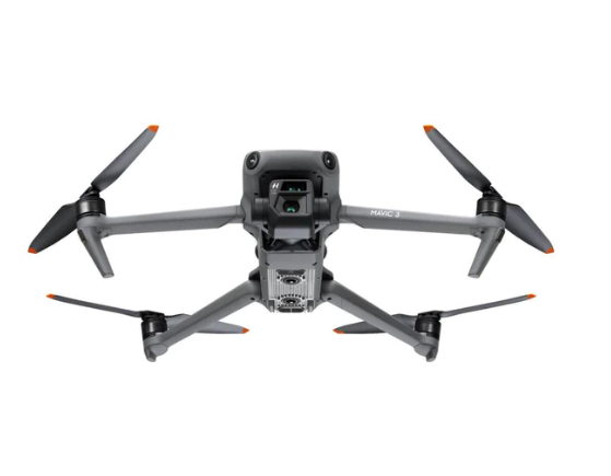



Construction sites move fast — and accurate stockpile measurements matter more than ever. Meet the DJI Matrice 4E — the professional survey drone built for mapping, geotagging, and high-precision volume calculations.

With automated flight missions and intelligent waypoint planning, the Matrice 4E captures every inch of your site with speed and precision.

Using RTK positioning and advanced mapping workflows, the drone creates centimeter-level accurate survey data for construction, mining, and material management

The high-performance imaging system automatically geotags every photo, allowing seamless processing into orthomosaics and 3D terrain models.

Transform raw aerial data into highly detailed 3D models for volume calculations, progress tracking, and site analysis.

No more manual measurements. Instantly calculate stockpile volumes with professional-grade accuracy — saving time, reducing labor costs, and improving reporting.

With real-time insights and fast processing workflows, project managers can make smarter decisions directly from the field.

Generate survey reports, monitor site progress, compare datasets over time, and share results instantly with your engineering and operations teams.

The DJI Matrice 4E is designed for professionals who demand reliability, efficiency, and precision in every mission.